Revolutionizing Public Health with Google Earth AI
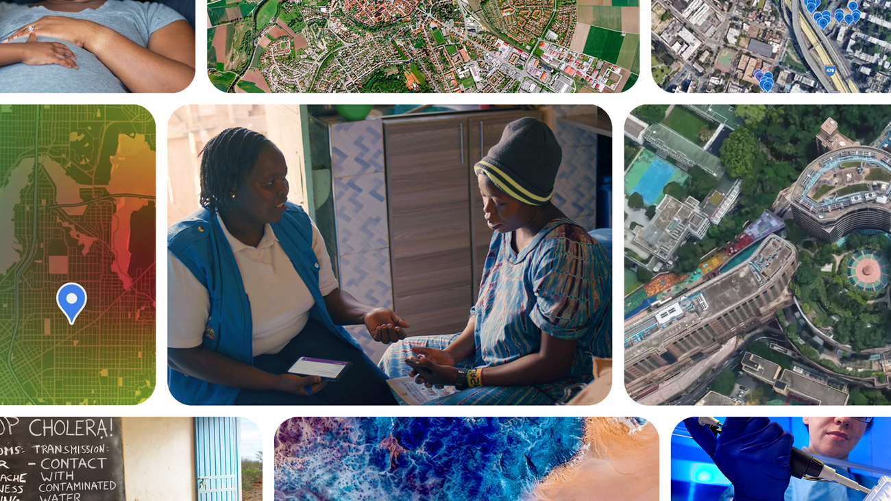
In the realm of public health, timely information is crucial. Google is stepping up to the challenge by integrating artificial intelligence (AI) and satellite imagery to assist health officials in predicting and preventing disease outbreaks. This innovative approach combines local health data with advanced geospatial models, allowing for a more proactive response to health crises.
Transforming Health Data Management
By utilizing AI and satellite images, public health experts can now track diseases with unprecedented efficiency. This technology allows teams to identify at-risk populations and forecast health trends significantly faster than traditional methods. For researchers and health professionals, Google offers no-cost access to these valuable data insights, along with the opportunity to apply for Google Earth credits to support local initiatives.
Proactive Disease Prevention
One of the standout features of this technology is its ability to help health officials detect potential outbreaks before they escalate. For instance, during an Ebola outbreak in the Democratic Republic of Congo, teams were able to identify remote communities at risk within minutes. This rapid response capability is critical in ensuring that medical resources are allocated effectively to protect vulnerable populations.
Geography’s Impact on Health
The health of a community is intricately linked to its geographical context, which influences climate, infrastructure, and lifestyle. However, public health teams often face challenges such as geographic blind spots and fragmented data. The integration of advanced predictive tools can significantly enhance the ability to safeguard at-risk communities, shifting the focus from reactive management to proactive prevention.
Bridging Gaps with AI
Recent research co-authored with global health partners demonstrates how Google Earth AI can address critical gaps across various geographies and health issues. By merging environmental signals with satellite imagery and mobility data, Google’s Population Dynamics Foundation Model (PDFM) offers a dynamic view of community health. This model allows researchers and health officials to complement existing health information and tackle challenges in a proactive manner.
Real-Time Insights for Health Crises
In acute health crises, the need for rapid, intuitive tools is paramount. Google has provided partners with access to two innovative research prototypes: the Geospatial Reasoning agent and the planetary prediction engine. These tools facilitate conversational spatial mapping and autonomous disease forecasting, enabling public health teams to streamline data processing and make informed decisions quickly.
Empowering Local Health Systems
To further bolster local public health infrastructure, Google.org has allocated funding to the National Institute of Biomedical Research (INRB) in the DRC, aimed at modernizing testing and disease surveillance. By combining planetary intelligence with local expertise, Google collaborates with global health leaders to create data-driven tools that enhance community protection.
As these tools become more accessible, the potential for improving public health outcomes worldwide increases. Google is committed to ensuring that researchers and practitioners have the resources they need to make a difference in their communities.
Source for the original facts: Original source.